Flight to Provo, Ut
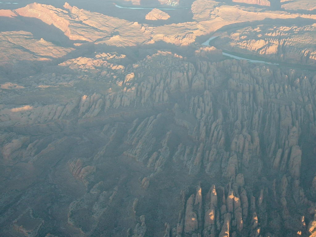 West of Moab
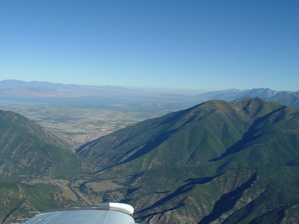
Looking down Spanish Fork canyon into Provo
Arches National Park. However I never found an arch from the air

Moab, Ut. I think this is slickrock

Look Ma no hands. If you read the Altemeter I am at 11500 feet

Mountain North of Blanding

Town of Blanding


Blanding airport

posted by sonex761 at 1:08 PM
![]()

2 Comments:
Those are some nice shots. The list of inoperative stuff is a little unerving. You should put another sticker up that says landing gear inoperative. Then send the photo to your mom with the sign circled. hehe.
Awesome!
Post a Comment
<< Home